
Sills: Take serious note of the forecast
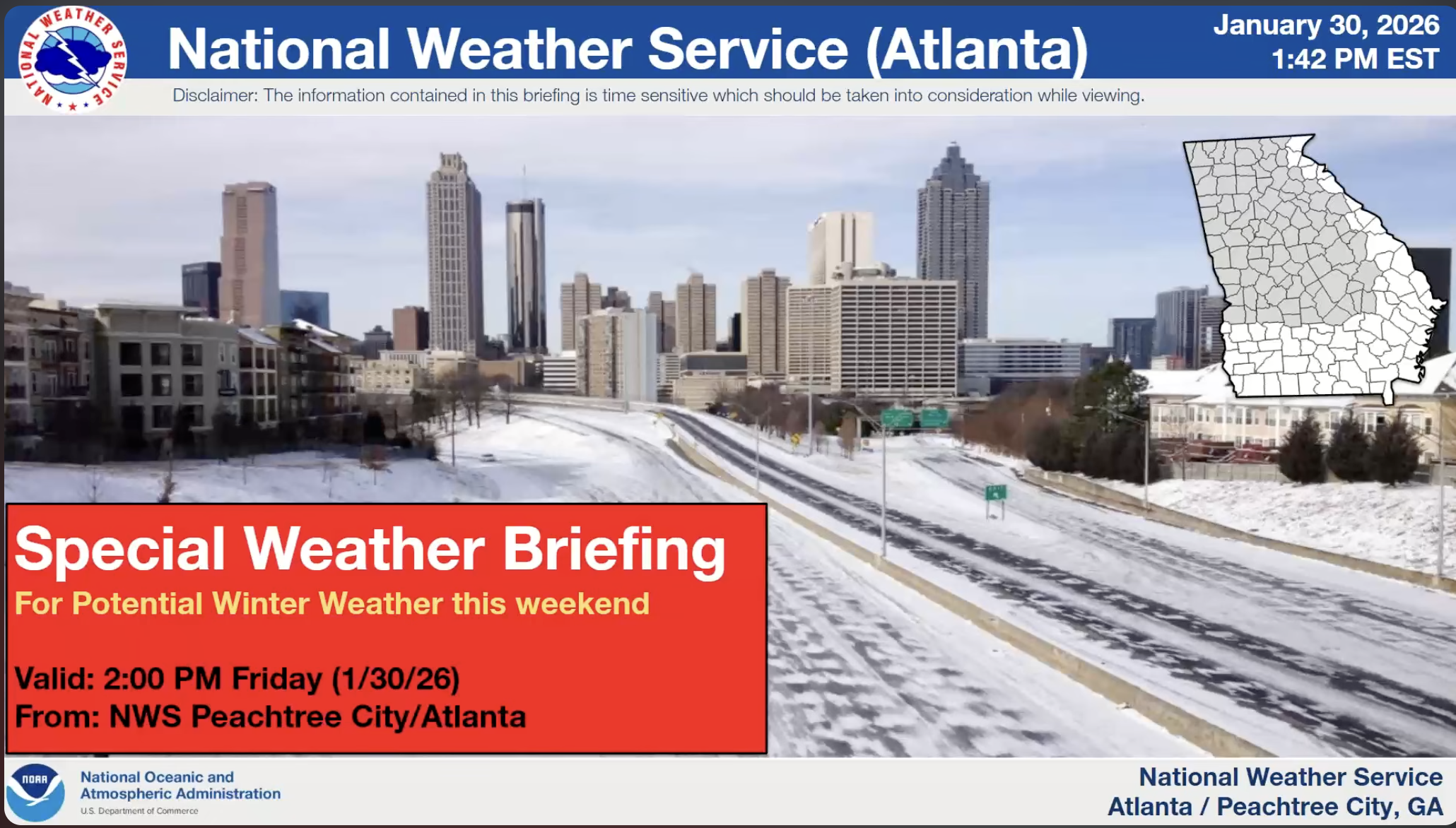
Eatonton and Putnam County are among all the other counties in Northwest and East-Central Georgia that are predicted to receive 2 to 6+ inches of snow this weekend, according to a notice from the National Weather Service of Atlanta.
The notice was issued around 2:50 p.m. Friday, Jan. 30, and shared with The Eatonton Messenger by Putnam County Sheriff Howard R. Sills, who also serves as the county’s Emergency Management Agency director.
>>LINK TO SPECIAL WEATHER BRIEFING VIDEO
“Please take serious note of the forecast from the National Weather Service,” Sills said in the email. “We were fortunate to have escaped most of the inclement weather last week. If our National Weather Service is correct in its most recent prognostication, Putnam County is about to get some significant, at least significantly different from the usual winter weather in Middle Georgia, accumulation of snowfall.”
The National Weather Service issued a Winter Storm Warning for Northwest and East-Central Georgia, which includes Putnam County. A “Winter Storm Warning” means heavy snowfall in a 12-hour period. In East-Central Georgia, “heavy” is 2-6 inches, according to the NWS. For Eatonton, the “Official Snow Forecast” at 2 p.m. Friday was 3-4 inches, and the “Reasonable Worst Case Snowfall” was 5 inches with a “1 in 10 Chance.”
Other details provided by the NWS include:
- Dangerous wind chills are anticipated all weekend, with values in the -5 to 3 degree range from 7 p.m. Saturday through 1 p.m. Sunday.
- A consecutive 48 to 60-hour period of below-freezing temperatures could increase the risk of pipe bursts and cold-related illnesses.
- Below-freezing ground temperatures will cause snow to instantly stick to roads, creating hazardous travel conditions, with roads impassable Friday night and Saturday as temperatures rapidly drop into the 20s. Gusty winds up to 35 mph will further deteriorate conditions.
Sills said the extreme cold will keep snow on the ground, roads, and other surfaces for several days.
“While a snowstorm usually produces less damage to electric lines and roadways than an ice storm does, it nonetheless makes driving conditions hazardous,” Sills said. “It’s also going to be the coldest weather we have experienced here in many years. Temperatures like those predicted will create a high risk of freezing water pipes, above-ground well pumps, and engine blocks.
“Please be prepared, have fun in the snow, and STAY OFF THE ROADS,” Sills added in his email.
The sheriff said anyone may keep up with the latest forecast by going online to https://www.weather.gov/ffc/winter and entering their zip code in the “Local Forecast” box at the top left corner of the webpage.